
In the rapidly evolving world of drones and aerial mapping, DJI stands at the forefront, offering versatile, high-performance drones that are revolutionizing the way we explore and understand our world. This discourse dives into the fascinating domain of DJI drones and their superior aerial mapping capabilities, exploring the cutting-edge technology, uncompromised flight stability, superior camera capabilities, and accurate mapping that these pioneers of drone technology have mastered. With a growing array of drone models tailored for varied applications, DJI’s prowess in the realm of aerial mapping techniques presents a promising outlook to enthusiasts and professionals alike. Coupled with the innovative software and applications that augment the capabilities of these drones, the prospects of DJI aerial mapping are excitingly vast and continually advancing.
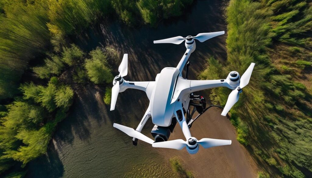
Understanding DJI Drones and their Capabilities
To say that drone technology has revolutionized industries in this era of rapid technological advancement would be an understatement. A hot spot of this development is noticed in aerial mapping, where drones from the DJI brand are making a significant difference. DJI, a company steeped in innovation and progress, has risen above many with their sterling applications in aerial mapping. But what exactly makes DJI drones unique and elevated in precision mapping from the air?
When it comes to technology innovation, DJI takes the cake with their Advanced Pilot Assistance Systems (APAS), arguably a crown tenant in their robust tech arsenal. APAS is a smart feature designed to help unmanned aircrafts avoid obstacles in their flight path, enabling smoother, safer flights, ultimately allowing more accurate mapping outcomes. This beats manually controlling the drone, focusing more on the flight than the actual task of mapping.
Moreover, there’s the phenomenal camera resolution. Pixels matter in aerial mapping, and DJI has capitalized on this with their drones boasting ultra-high-resolution cameras. The Phantom 4 RTK, for instance, sports a 20-megapixel camera capable of shooting in 4K resolution. These super-crisp images are paramount in mapping, providing rich detail for robust analysis.
Not overlooking battery life. A more extended flight time equates to covering more ground and capturing more data. DJI drones shine in this area with incredible battery longevity. For example, Matrice series drone can fly up to 38 minutes straight, offering considerable uninterrupted data collection.
There’s also the aspect of dependability. DJI ensures their platforms are reliable, sparing users the risk of handling volatile, unreliable technology. This brand’s drones are designed and built to be sturdy, resilient to both technical and physical obstacles – a much-coveted quality when investing in a piece of technology.
Flawless integration of software is another aspect to consider. DJI offers dedicated software – DJI Terra, a drone mapping software that easily integrates with their drones to deliver seamless data synchronization, reducing the often-tedious chore of data handling manually. As it covers real-time mapping, route planning, photogrammetry and other features, this software has proved indispensable for many professionals.
And last but definitely not least, there’s DJI’s Lightbridge Technology – a staggering advancement that provides an extended control range and full HD video streaming capabilities. This tech revolution offers users an edge by increasing their drones’ reach and range.
In conclusion, steeped with features like high-resolution imagery, extended battery life, reliable robustness, advanced obstacle avoidance systems, and innovative software, DJI is rightly a force to reckon with in the world of aerial mapping using drones. Committed to tackling technological challenges, it’s no surprise this brand continues to fulfill and exceed expectations in the tech world. The bottom line? When it comes to aerial mapping, DJI is the tech enthusiast’s choice.

Aerial Mapping Techniques Using DJI Drones
Title: Harnessing DJI Drones for Superior Aerial Mapping: A Deep Dive
DJI, universally lauded as a front-runner in the drone technology landscape, is transforming the field of aerial mapping with unrivaled precision and efficiency. By maximizing the benefits of sophisticated features such as the Advanced Pilot Assistance Systems (APAS), high-resolution cameras, and long-lasting batteries, DJI leverages these factors for superior data collection and analysis.
While the role of DJI drones in revolutionizing industries like real estate, agriculture, and mining is indisputable, the focus here is to unveil the underlying aspects that uniquely qualify these drones for optimal aerial mapping.
First and foremost, let’s discuss the indispensable role of drone flight planning. DJI drones excel in pre-planned, automated flight paths, thanks to their intelligent flight mode coupled with high-performance probabilistic model-based control systems. This ensures that the drone automatically covers every inch of the designated area meticulously without manual intervention, thereby eliminating inevitable human errors.
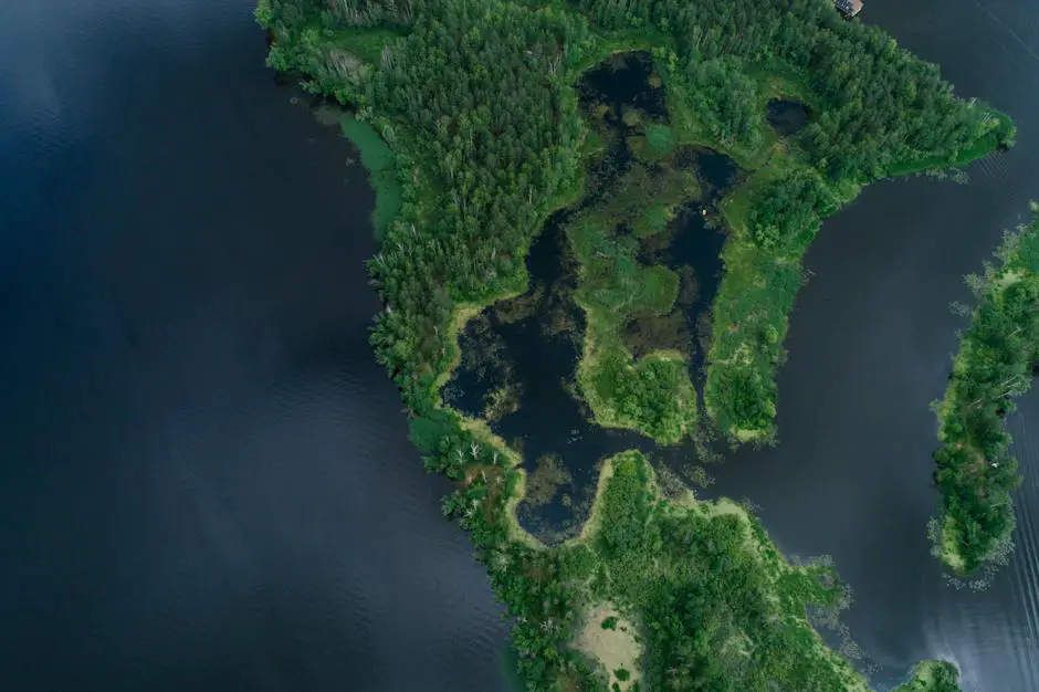
A critical element in any aerial mapping is the gimbaled camera system. DJI’s world-class drones stand out in effortlessly capturing crisp, clear, and stable images and videos, even in high winds and unfavorable weather conditions. This is crucial for generating accurate, high-resolution maps, and 3D models.
Moving on to the obstacle detection and avoidance feature, DJI drones are endowed with multi-directional sensors that effectively circumvent physical barriers, ensuring continuous data collection for uninterrupted aerial mapping tasks. This ensures consistent operational efficiency, ultimately leading to precise mapping results.
The power of DJI drones lies not just in their physical characteristics but largely in their compatibility with innovative software solutions. Their seamless connective abilities with specialized GIS and aerial mapping software create a streamlined workflow from automated flight planning to post-flight data processing, enhancing the quality and utility of obtained aerial maps to a remarkable level.
Lastly, DJI drones are built for endurance. Their robust design and build, coupled with advanced safety features like return-to-home function, anti-collision beacons, ensure fail-safe operations and longevity, making them a reliable choice for long-term, large-scale aerial mapping projects.
In the end, the combination of advanced technology, intuitive features, sturdy design, and compatibility with high-end software is what truly sets DJI drones apart in the realm of aerial mapping. DJI’s progressive strides in this sector have created a promising base for industries to leverage to fulfill diverse geographical and topographical mapping needs accurately and efficiently. Your search for a reliable, precise and efficient solution for aerial mapping ends with DJI drones.
Software and Applications for DJI Aerial Mapping
Delving Deeper: Enhancements to DJI Drones’ Aerial Mapping Capabilities
When examining the efficacy of DJI drones in aerial mapping, it’s pivotal to understand they are not standalone machines. They are part of a vast digital ecosystem, bolstered by various software and applications. These add-ons help unlock the full potential of the drone, enhance aerial mapping, and present data with maximum precision.
One such software, creating quite a buzz, is Map Pilot by Maps Made Easy. This software enables accurate drone flight planning. Simply draw the area you want to map, and Map Pilot will create an optimized flight path. With high-resolution image capture and perfect overlap, the drone can repeat pre-designed missions, allowing time series comparison with minimal human interaction.
Further cementing the reputation of DJI drones in aerial mapping is the wide compatibility with drone operational software like DJI GO 4 and DJI FLY. Operating these apps, users can access advanced controls, conduct automated flights and receive real-time data transmission. These software applications transform DJI drones into fully automated data collection tools to drive efficiency in aerial mapping projects.
For aerial mapping to be precise, image stability is crucial. DJI drones often feature high-precision gimbal technology, minimizing disruption brought about by atmospheric conditions. When paired with software such as DroneDeploy, this enhancement optimizes the gimbal movement to ensure crisp and clear images. The result is ultra-precise aerial maps with impeccable resolution.
Obstacle avoidance, a feature enabled in DJI drones, is further reinforced by software like UgCS. This application enables the drone to build a 3D map of its surroundings, thus intelligently avoiding obstacles in real-time. It’s a groundbreaking software addition that makes drone flights safer and less likely to interfere with data collection.
The integration of endurance and safety features is equally crucial in aerial mapping. DJI drones typically come with features such as return-to-home and altitude hold. Software such as Litchi enhances these features, enabling waypoints, follow mode, and even ‘Orbit mode’ for 360-degree video capture.
Lastly, Pix4Dfields is another game-changing software. It’s an instant drone mapping software designed for precision agriculture, allowing DJI drones to capture highly detailed aerial photos. The result is a perfect 3D model of a field, enabling accurate crop analysis, leading DJI to new heights in the agriculture sector.
In conclusion, DJI drones’ performance in aerial mapping is not just about the tangible product. The amalgamation of high-tech software and applications evokes phenomenal potential. This powerful synergy propels DJI’s pioneering role in aerial mapping to new realms, revolutionizing sectors beyond imagination.
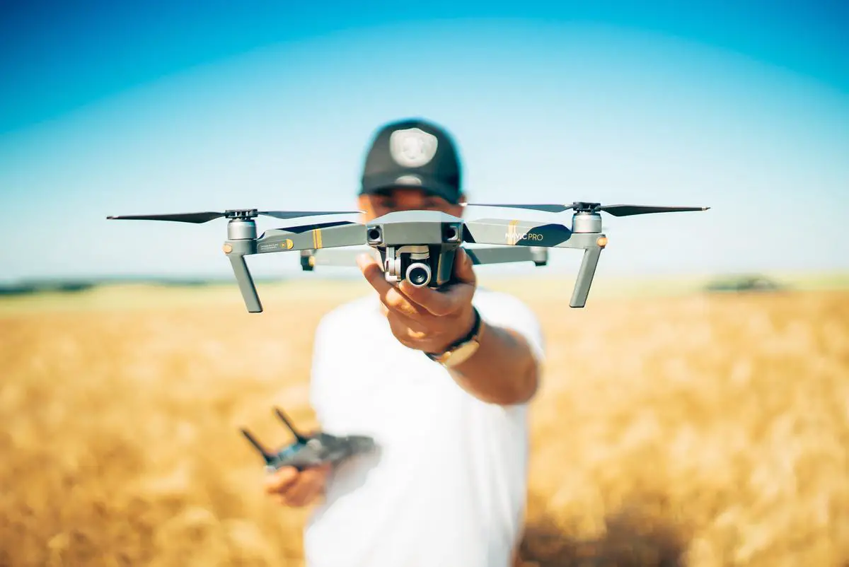
Photo by davidhenrichs on Unsplash
Advancements and Future Trends of DJI Aerial Mapping
Moving forward, DJI is constantly innovating and revolutionizing aerial mapping with new advancements in its technology stack. These latest developments focus not just on hardware capabilities but also on a concerted push towards AI and machine learning implementations on DJI drones.
DJI’s recent endeavor, Terra, is a drone mapping software, creating 3D mapping and detailed reconstruction with unprecedented accuracy. It aims to transform the data collected by drone flights into digital 3D models or 2D orthomosaic maps. This translates to an enhanced capacity for the user to inspect, analyze, visualize, and hence, explore new perspectives and experiences which were previously beyond reach.
Emerging on the horizon is DJI’s revolutionary Live Map technology. Live Map uses AI and advanced algorithms to automatically generate maps directly on the drone. Even when you’re still flying, drone pilots can immediately survey the mapped area and identify any gaps that need additional mapping. The application this holds for industries ranges from agriculture and construction to emergency response scenarios where immediate results can be critical.
The latest Phantom 4 Pro V2.0, equipped with DJI’s proprietary OcuSync 2.0 technology for HD image transmission, signals a definitive leap in flight communication systems. It provides stable, reliable, high-resolution data transmission from the drone to the controller at speeds that allow for real-time mapping.
Point of Interest 2.0, another innovation by DJI, focuses on refining the scanning and mapping of interesting or critical structures and locations with intricate detail. Using 3D mapping, the drone circles the point of interest at multiple angles, creating clear, comprehensive, and precise imaging and mapping.
Looking towards the future, DJI has already signaled its plans for AI-led autonomy in mapping. Implementation of autonomous decision-making software can lead to drones determining their own flight patterns for optimal mapping, saving both time and resources. In combination with machine learning-based image recognition, the mappings will improve over time, dynamically learning to recognize and categorize different features in an increasingly efficient and accurate manner.
To surmise, with DJI’s relentless investment in technology and embracing the potential of AI, the future of aerial mapping holds immense promise and fascinating potential. As the company continues its path of innovation, the world of aerial mapping will undoubtedly drive industries and professionals into unprecedented levels of efficiency and discovery.
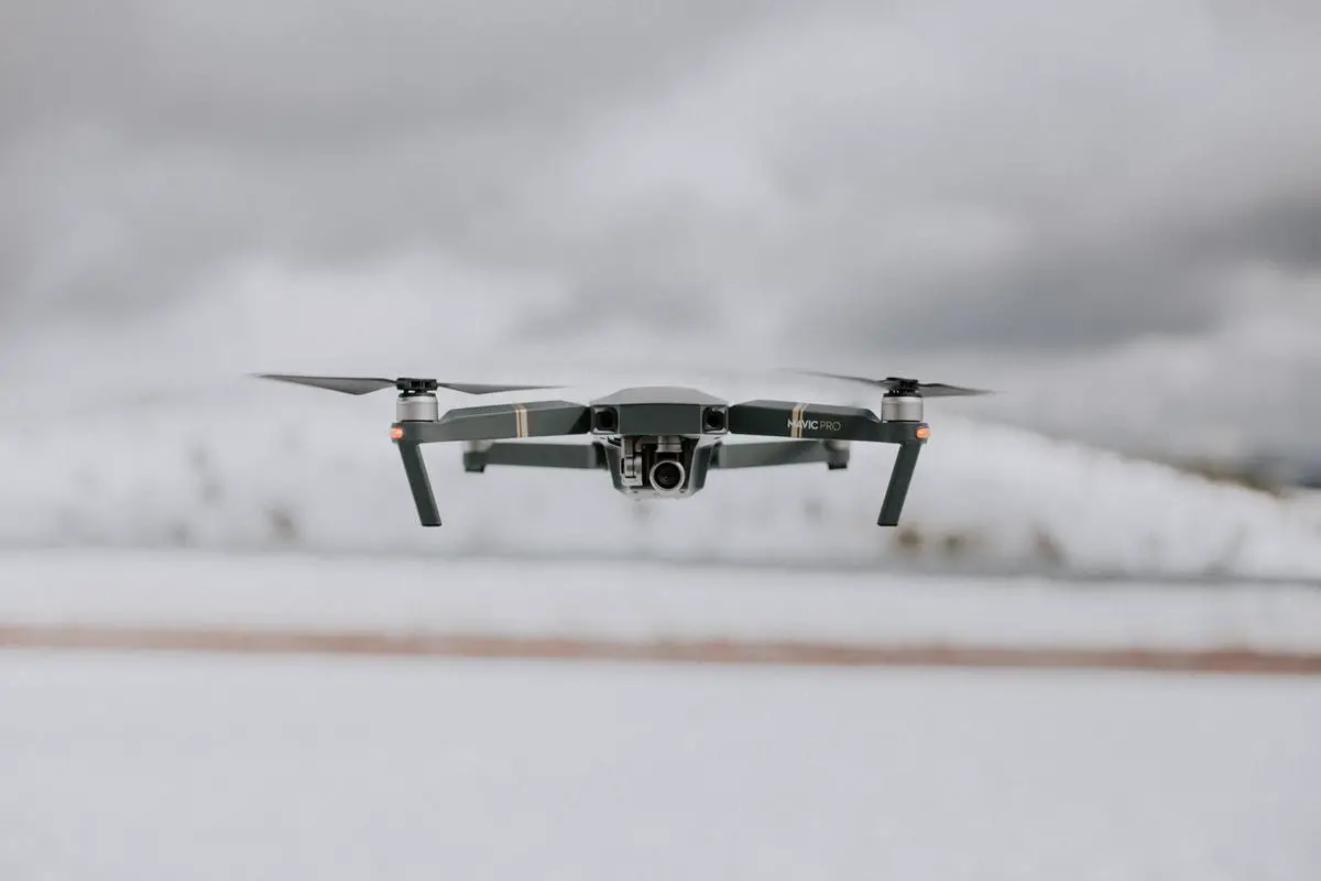
Photo by joaoplrocha on Unsplash
As the realm of aerial mapping continues to evolve, DJI remains at the precipice of innovation, advancing its technology to reach new heights of precision and capability. Offering a glimpse into the future, it is clear that the profound impact of DJI’s continual advancements in drone technology are dramatically enhancing the potential and applications of aerial mapping. With a solid understanding of DJI drones, their capabilities, techniques, and associated software applications, the true potential of aerial mapping through DJI drones comes into focus. This narrative serves as an invitation to ponder the exhilarating journey ahead and explore the uncharted territories, as DJI drones continue to soar beyond the horizons of traditional aerial cartography.