Unmanned aircraft systems (UAS) have emerged as an influential force within the aviation industry, providing immense potential across various sectors. As UAS technology continues to advance, the range of applications and the need for an in-depth understanding of these systems grows. This comprehensive essay offers essential insight into different types of unmanned aircraft systems, their regulations and safety, technology and components, the role of autonomy and artificial intelligence, data processing and software, industry trends, and real-world case studies illustrating practical UAS implementation.
UAS types and applications
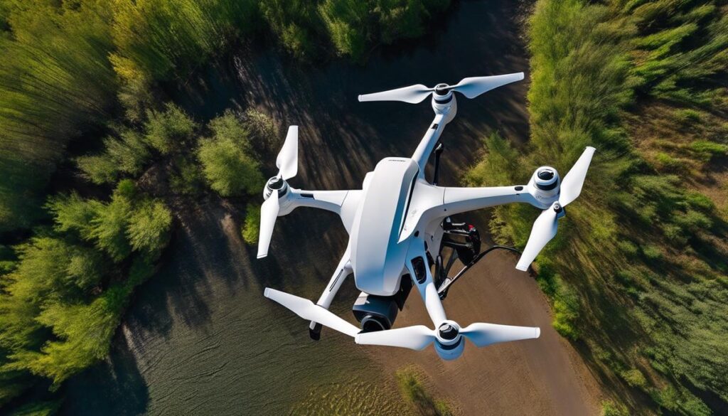
Unmanned Aircraft Systems (UAS), also known as drones, are aircraft that can fly autonomously or be remotely controlled by pilots on the ground.
One type of UAS are the fixed-wing drones, which resemble traditional airplanes and typically have a more extended flight range and higher speeds compared to other UAS types. These are commonly used in large-scale mapping projects, surveillance, and monitoring missions due to their ability to cover vast areas quickly and efficiently.
Another popular UAS type is the rotary-wing drone, which includes systems such as quadcopters and helicopters. These drones offer increased maneuverability, allowing them to hover in place and perform precise movements. Rotary-wing drones are particularly useful in applications where stability, low speed, and precision are essential, such as aerial photography, inspections of buildings or infrastructure, and search and rescue missions.
Hybrid UAS systems combine the advantages of both fixed-wing and rotary-wing designs. These drones can take off and land vertically like a rotary-wing aircraft and transition to fixed-wing flight for longer distances and increased efficiency. As a result, they find applications in various sectors, including military and civilian uses, offering the extended flight range of a fixed-wing system and the agility and hovering capability of a rotary-wing system.
UAS technology has found a plethora of applications across various industries. In agriculture, drones are used for monitoring crop health, managing irrigation systems, and even spraying pesticides and herbicides. This technology has significantly improved farming efficiency, reducing the time and resources required for data collection and decision-making. Environmental monitoring is another key application area, where UAS offers a cost-effective solution to monitor and collect data on factors like air quality, wildlife tracking, or the health of forests and coastal areas.
Unmanned Aircraft Systems (UAS), also known as drones, have experienced rapid growth in recent years as industries and recreational enthusiasts alike adopt the technology for various purposes. In the security sector, UAS are used for border surveillance, assisting law enforcement, and providing situational awareness during natural disasters or emergencies. The technology has also found use in package delivery, reducing the need for ground-based transportation and cutting down associated costs and environmental impacts. Overall, Unmanned Aircraft Systems continue to revolutionize various industries through increased efficiency and access to previously challenging areas, making them indispensable tools for modern-day businesses and government agencies.
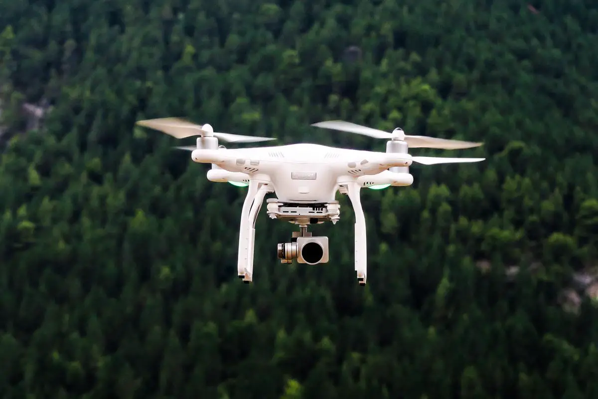
Photo by jeisblack on Unsplash
UAS regulations and safety
As the market for Unmanned Aircraft Systems (UAS) continues to flourish, the need for proper regulation and safety measures has become increasingly necessary. The Federal Aviation Administration (FAA) is at the forefront of establishing these rules and requirements in the United States, ensuring the safe integration of UAS into the national airspace system. These regulations are crucial for maintaining a balance between encouraging innovation and growth of the industry while minimizing potential risks and conflicts with manned aircraft and other air traffic operations.
One significant step toward promoting safety and accountability among UAS operators has been the implementation of a registration process. This process requires drone users to register their devices with the FAA, providing necessary information such as the make, model, and serial number of the aircraft. The registration process serves as a means of connecting the drone and its operator, offering a clear pathway for law enforcement and regulators to take action should the need arise. Additionally, as part of the registration process, users must review and acknowledge the basic safety and operational rules for UAS, helping to ensure that pilots are informed and operating within the framework of the law.
The FAA has also established certification requirements for pilots who fly drones for commercial purposes, such as photography, surveying, or inspections. To obtain a Remote Pilot Certificate, individuals must pass an aeronautical knowledge test and meet other eligibility requirements. This certification process ensures that commercial drone operators are knowledgeable about the rules, safety procedures, and airspace restrictions applicable to their operations.
Airspace integration and management is a critical aspect of UAS regulation and safety. The FAA’s Low Altitude Authorization and Notification Capability (LAANC) system, for example, enables drone operators to request and receive authorization for access to controlled airspace in near-real-time. This helps to maintain situational awareness among both manned and unmanned aircraft, mitigating the risk of collisions and other potential hazards in the sky.
Emerging technologies and innovations within the Unmanned Aircraft Systems (UAS) industry are constantly shaping the regulatory landscape. With advances such as Beyond Visual Line of Sight (BVLOS) operations and increased automation becoming more common, regulatory bodies like the FAA must continue to adapt and refine their approach to ensure the safe and responsible operation of unmanned systems. This may involve amending existing rules, developing new standards, or utilizing new data and tracking systems to further enhance safety and enable efficient UAS integration into the national airspace system.

UAS technology and components
In addition to regulatory developments, the advanced technology components of Unmanned Aircraft Systems (UAS) are integral to their versatile and impressive flying capabilities. A prime example is the guidance system, which allows UAS to navigate and maintain stable flight during operations. Utilizing onboard GPS for precise navigation and inertial measurement units (IMUs) for monitoring attitude, heading, and velocity, these components work in tandem with flight control software to provide a seamless flying experience. Consequently, the UAS can execute exact movements and operate safely across various environments, further highlighting the importance of advancements in technology and regulations working together for the industry’s progress.
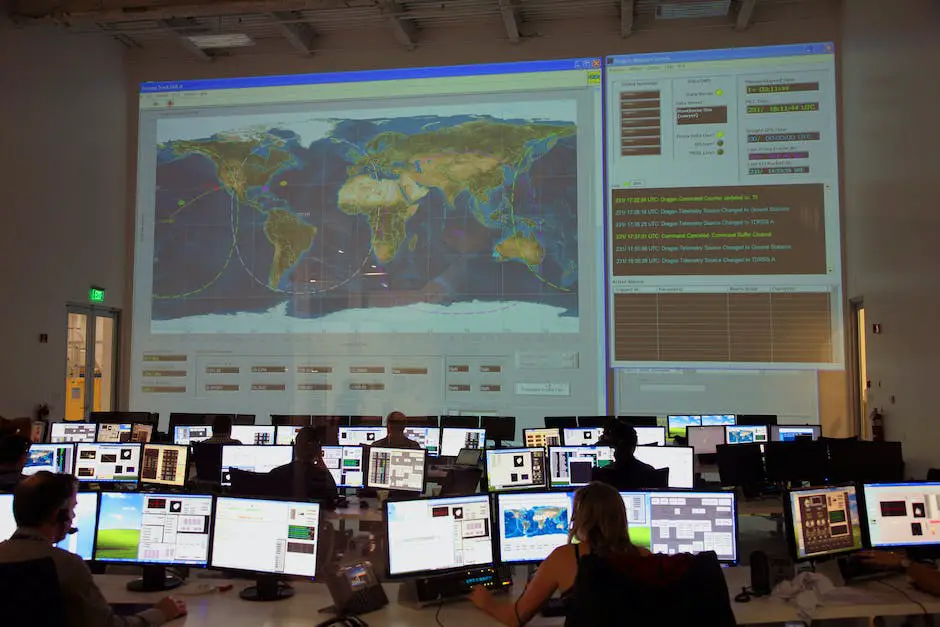
Another essential element of UAS technology is the communication link between the aircraft and its ground control station (GCS). This link facilitates the exchange of information between the operator and the UAS, ensuring smooth command and control functions. Data links can be either wireless or wired, using radio frequencies, satellite communication, or cellular networks to connect the UAS to the GCS. The quality of the communication link has a direct impact on the range of the aircraft, its ability to transmit high-resolution imagery, and the overall reliability of the system.
Ground control stations play a central role in every UAS operation, providing the human-machine interface needed to conduct successful missions. GCS functions can range from basic to complex, depending on the size and sophistication of the UAS. Typically, ground control stations include flight control software, display monitors, and input devices such as joysticks or keyboards for controlling the aircraft. In some cases, they may also integrate with mission planning and simulation tools, as well as data analysis software for post-flight evaluations. Overall, the GCS acts as the nerve center for UAS operations, allowing operators to remotely pilot, monitor, and troubleshoot the aircraft as needed.
Payloads are another vital component of UAS technology, determining the ultimate purpose and utility of an unmanned aircraft. Payloads can be diverse, ranging from high-resolution cameras and LiDAR sensors for mapping and surveillance to specialized equipment for agriculture or environmental monitoring. Payloads can also encompass scientific instruments, communication relays, and even weaponry, depending on the intended application. The integration of these payload systems with the guidance, communication, and ground control elements is critical to the success of any UAS mission.
One of the current challenges facing Unmanned Aircraft Systems (UAS) technology is ensuring seamless integration among various components, while meeting the unique demands of each specific application. As UAS technology continues to advance, improvements in guidance and navigation systems, communication platforms, and payload technology will further enhance the capabilities and performance of these systems. Therefore, staying informed about innovations and developments in these areas is crucial for professionals who aspire to become experts in the field of unmanned aircraft systems.

Photo by jeisblack on Unsplash
UAS autonomy and AI
Building on this foundation, another aspect of UAS that shows strong potential for growth and development is the integration of autonomy and artificial intelligence (AI). As these systems continue to evolve, it is expected that the implementation of AI technology will lead to more advanced capabilities and expanded operational applications. Current efforts in AI-powered UAS primarily focus on enhancing the functionality of the aircraft and improving its ability to make smarter decisions with minimal human intervention. This progression in autonomy and AI is essential in ensuring the advancement and integration of UAS across various sectors and industries, further highlighting the importance of staying updated on the latest developments in the field.
An essential aspect of achieving full autonomy for UAS is developing advanced sense-and-avoid technology. This technology enables UAS to identify and avoid obstacles, other aircraft, and potential hazards in real-time. The use of AI in developing these systems allows for the continuous improvement of algorithms, enabling quicker and more accurate decision-making processes. Machine learning techniques, such as deep reinforcement learning and convolutional neural networks, drive the evolution of sense-and-avoid systems. As these technologies continue to improve, UAS will become safer and more autonomous, capable of conducting missions in challenging environments with greater ease and efficiency.
Machine learning technologies also play a significant role in enhancing UAS autonomy by enabling onboard processing of data. This local processing allows the UAS to make rapid decisions without the need for constant communication with a ground controller. As autonomous systems become more advanced, their ability to gather and process massive amounts of data quickly becomes increasingly important. This will enable more complex mission planning, dynamic obstacle avoidance, and the ability to adapt to changing conditions in real-time.
Swarm technology is another application of AI that is transforming the landscape of UAS development. Swarm technology allows multiple UAS to work collaboratively, using intelligent algorithms to coordinate their movements and perform tasks more efficiently than a single system. This approach enables the utilization of UAS swarms in various applications, such as search and rescue operations, area reconnaissance, and multi-vehicle data collection. The integration of AI and swarm technology is still in the early stages, but further developments hold promise for enabling an even higher level of autonomy in UAS systems.
As interest in swarm technology and collaborative robot systems grows, the development of more advanced autonomous Unmanned Aircraft Systems (UAS) has accelerated. These collaborative robot systems, or ‘cobots,’ integrate AI-powered UAS with ground-based robotic systems to form cohesive and highly functional teams. This collaboration between UAS and ground-based robots allows for a wide range of operations, such as infrastructure inspection and precision agriculture. With the continuous advancements in autonomy and AI, it is expected that the synergy between UAS and cobot technologies will unlock new possibilities and applications across various industries.
UAS data processing and software
One of the critical aspects of UAS operations, stemming from this synergy between air and ground-based robotic systems, is efficient processing and management of the data collected during flights. A variety of software tools is available to help professionals in flight planning, control, data analysis, and presentation. These tools ensure that UAS operators can optimally utilize the wealth of information generated by their systems. The choice of software depends on factors such as ease of use, compatibility with specific UAS platforms, and the particular data processing requirements for the applications in which the UAS is employed.
Flight planning and control software
plays a crucial role in defining mission parameters, automating flight paths, and ensuring smooth communication between ground control stations and the UAS. Popular software solutions include DJI Ground Station Pro, Pix4Dcapture, and Mission Planner, each of which offers a range of options for customizing and automating flights. To select the best solution for their needs, UAS users must consider aspects like waypoint and path customization, geofencing capabilities, and integration with camera and other sensor payloads.
Data processing and analysis
are essential in transforming raw information into actionable insights. Solutions like Pix4D, Agisoft Metashape, and DroneDeploy offer tools for generating georeferenced maps, 3D models, and other visualizations based on images and data collected by UAS. Specialized software such as SimActive, tailored to remote sensing and mapping, and ESRI’s Drone2Map support applications in areas like agriculture, surveying, environmental monitoring, and infrastructure inspection. In selecting the proper processing tool, professionals need to consider factors like speed, accuracy, and compatibility with the UAS platform and sensors.
Storage and organization
of collected data is critical for effective use of UAS systems. Modern UAS generate large volumes of data, and cloud-based storage options like DJI Flight Hub and DroneDeploy Enterprise offer simple solutions for storing, organizing, and accessing this information remotely. Users must evaluate the security and reliability of such services in addition to factors like cost and ease of integration with other software tools.
Presentation of Processed Data
For professionals and experts in the rapidly growing Unmanned Aircraft Systems (UAS) industry, effective communication and decision-making are paramount. Crucial to this process is the presentation of processed data, allowing users to create and share interactive maps and visualizations for a variety of applications. Web-based applications such as ESRI’s ArcGIS Online enable professionals to collaborate with clients or team members seamlessly. Meanwhile, free, open-source options like QGIS provide customization and the ability to incorporate third-party data or analysis. UAS professionals must carefully choose the appropriate software, considering factors like ease of sharing, customization options, and integration capabilities.
UAS industry and market trends
The UAS industry has experienced tremendous growth in recent years thanks to factors such as commercial demand, technological advancements, government investment, and key market players. PwC reports that the global market for business services utilizing drones is valued at over $127 billion. Industries like agriculture, construction, and public safety are increasingly implementing UAS technology to enhance efficiency, productivity, and reduce operational risks. As UAS professionals continue to navigate the landscape of unmanned systems, the effective presentation and sharing of processed data will play a pivotal role in the further advancement and application of UAS technology in various sectors.
Technological advancements have played a significant role in shaping the market trends of the UAS industry. Artificial intelligence (AI) and machine learning integration in drone systems have enabled them to perform autonomous operations, gather crucial data, and generate insightful analytics for businesses. Furthermore, advancements in battery technology have significantly improved flight durations, allowing UAS to cover larger distances and carry heavier payloads. These developments have expanded the use-cases for UAS across various industries, including aerial photography, disaster management, and wildlife conservation.Government investment in UAS technology is another driving force behind the growth of the industry. Countries such as the United States, China, and Israel have been investing heavily in drone technology for military and surveillance purposes. Consequently, this has led to an increased research and development spending in the sector, promoting innovation and novel applications of UAS in various fields. Regulations and legislation surrounding drone usage are also becoming more well-defined, creating an environment that incentivizes both innovation and safety.The competitive landscape of the UAS industry has dramatically evolved in recent years. Companies like DJI, Parrot, and Yuneec dominate the consumer drone market, while organizations such as AeroVironment, Insitu, and General Atomics lead the military and commercial drone segments. Collaboration between established firms and innovative startups is also increasing, leading to joint research, development, and product launches targeting niche applications and markets.Recent developments like Urban Air Mobility (UAM) have opened up new opportunities in the Unmanned Aircraft Systems (UAS) industry. Companies such as EHang, Volocopter, and Joby Aviation are working on electric vertical takeoff and landing (eVTOL) aircraft that can potentially redefine urban transportation. These ventures have garnered significant attention and investment from both private and public entities. As UAS technology continues to advance, it appears poised to disrupt not only the aviation industry but also a wide range of commercial applications.

UAS best practices and case studies
Unmanned Aircraft Systems (UAS)
have seen rapid growth and evolution, with increasing adoption for various applications including search and rescue, wildlife monitoring, agriculture, and infrastructure inspection. A key aspect of utilizing UAS technology is risk mitigation – particularly in situations where deploying human teams may be dangerous or unfeasible. By using UAS in disaster-stricken areas or extreme environments, valuable, real-time data can be collected without jeopardizing human lives, enabling better-informed decision-making. This versatility makes UAS a powerful problem-solving tool and highlights its significant potential in modern disaster relief efforts.
Agriculture
stands out as an industry where UAS have successfully demonstrated value creation and efficiency in daily operations. For instance, UAS are used for crop monitoring, allowing farmers to obtain detailed information about their fields and assess crop health. This data-backed method provides accurate insights into crop water and nutrient requirements, supporting farmers in their decision-making processes while ensuring sustainable resource management. In addition, UAS can be utilized for precision agriculture, enabling farmers to administer variable rate applications for fertilizers and pesticides, resulting in improvements in efficiency and reduced agricultural costs.
Infrastructure inspection
is another area where UAS have demonstrated their utility in driving innovation for efficient asset management. Traditional methods of inspecting bridges, wind turbines, pipelines, and other critical infrastructure might pose significant safety risks to human workers and are often time-consuming and expensive. UAS allow for close visual and thermal inspections, as well as providing high-resolution imagery and data. They have proven to be invaluable in detecting structural issues, leaks, and other anomalies, thereby facilitating timely maintenance work and minimizing downtime, all while improving worker safety.
Environmental sector
is increasingly using UAS for wildlife monitoring and conservation efforts. Researchers and conservationists are leveraging this technology to observe and study animal populations without disturbing their natural habitats, leading to more ethical practices based on non-invasive techniques. In addition, UAS can be equipped with specialized sensors to monitor environmental changes and track pollutants or poaching activities in remote areas, enabling efficient surveillance and prompt response times to address these issues.
Law enforcement agencies
have benefited from integrating UAS into their operations as a versatile tool for various tasks. UAS are being used for crowd monitoring, search and rescue missions, traffic management, and even criminal investigations. These applications showcase the technology’s ability to provide a real-time overview of the terrain, save manpower, and accelerate response times, ultimately enabling agencies to better manage public safety and maintain order more effectively.

Through a detailed exploration of diverse aspects of unmanned aircraft systems, this essay contributes to the evolving discourse surrounding UAS technology and its applications. By examining essential components, regulations, and innovations, readers gain a holistic perspective on the current state and future developments in the UAS landscape. Furthermore, the inclusion of best practices and case studies highlights the transformative power of UAS as a crucial tool for addressing complex challenges, generating value, and driving innovation across multiple sectors.
Originally posted 2023-05-29 04:28:28.